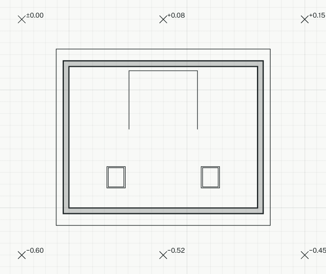
Places surveyed ground heights on the plan. Together they make the ground surface shown in 3D.
Terrain point: the resultHow it works
- Click the point, or type it as x,y.
- Type its height above ±0.00 in mm. The tool goes on with the next point: click it, and press Enter to give it the last height again.